Route 1: Garadhban, Ballinjour
- Distance: 5 km (3 miles)
- Location: 2.5 km north of Drymen on the single track Old Drymen to Gartmore Road (National Cycle Route 7)
- Maximum gradient: 1:6 on yellow waymarked route
- Parking: About two horse boxes/trailers
There are three waymarked paths in this area. However, the blue route has a narrow and fairly uneven section not on a constructed path and is not suitable for riding on. Other routes are suitable and are generally firm though there may be loose surface material in places. The yellow marked route is described here. You could also extend your ride on the marked forest roads.
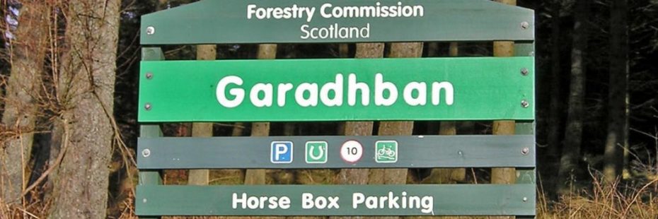
Entrance to Garadhban Forest
Starting from the Forestry Commission Scotland car park, the yellow waymarked path takes you along forest roads and some sections of the West Highland Way long-distance walking route. This can get busy during the holiday season with walkers, particularly at the start of the week and on weekends. The yellow path returns along a short section of the public road, please take care and follow safety guidance for riders when using this stretch.
Many animals live in this forest, and if you are lucky you could see a roe deer or a red squirrel. You may also see or hear a siskin, long-tailed tit, willow warbler or a woodpecker.
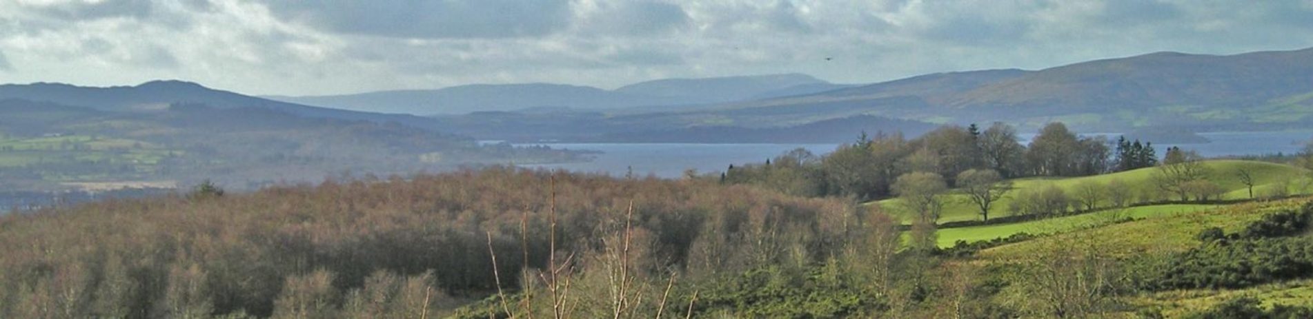
Views out of the forest are limited but there are some open areas where you get partial views of Loch Lomond, the Lomond Hills, the Kilpatrick Hills and the Campsie Fells.