Route 10: Cock Hill
- Distance: 6.5–8 km (4.5 miles–5 miles)
- Location: 1.5 km south west of Callander on NCN 7 Invertrossachs Road
- Parking: Six horse boxes/trailers
- Location: 3 km south of Callander on the A81
- Parking: Two horse boxes/trailers
This route can be reached from two parking areas. The larger of these is Forestry Commission Scotland’s Coilhallan car park which is immediately before Wheels Cycle Hostel. This is reached by turning left at the second mini roundabout on the A81 after McLaren High School heading into Callander from the Aberfoyle direction.
The route from here is through Coilhallan Woods, uphill on a forest road at the back of the car park. A smaller path is reached beside some houses where you turn right. Take the next turning on the right from where you have a choice of riding one loop or two, both of which have a good surface. Both loops have one common middle track. At the T junction turn left, which is the middle track, and for the first loop continue straight on ignoring the track to your right (this allows you to continue on to complete the second loop-see map). At the T junction at the end, turn left and then left again at the next junction. Continue straight on ignoring the turning on the left, and left again at the houses and back to the car park.
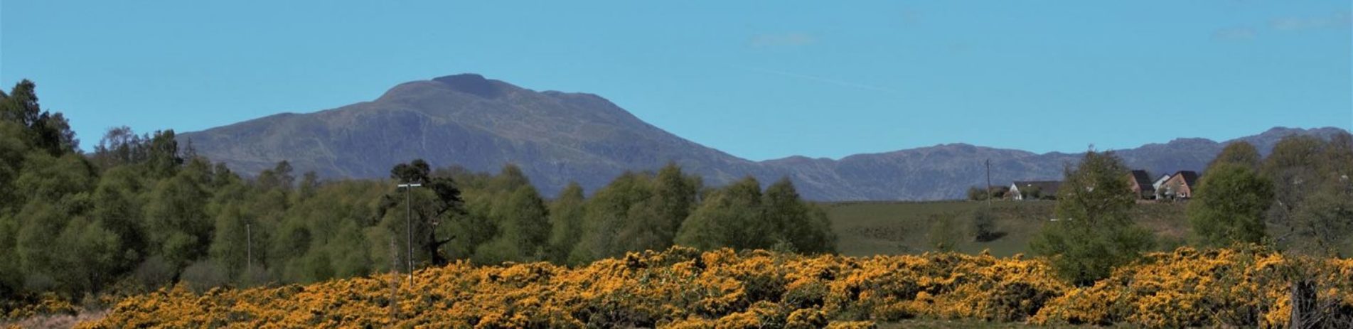
Cock Hill looking north towards Ben Ledi (photo credit: Keith Wilson)
Another parking area, thanks to Cambusmore Estate, is almost opposite Balvalachan Farm, next to a small forest plantation. From here, ride up the forest track and turn right at the first junction going through two horse friendly gates which avoid two cattle grids.
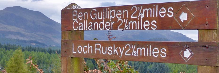
At the top of this track turn right. On a clear day there are good views of the surrounding hills which include Ben Ledi and Ben Guillipen (this has the mast at the top). Ignore the next track up to the left and continue into the more forested area.
For the first loop, take the second turning on the right which is the common middle track between the two loops. Ignore the left turn after about 750 metres (this path would allow you to continue on the second loop, see map). Take the next track on the right and at the next T junction turn right again. At the next T junction turn left and you are now on the way back to the parking area. On a clear day you can see over to Stirling Castle and beyond. The next left turn will take you back through the two gates by the cattle grids and the last left turn is down the track returning to the start.
Some stalking activity does take place in this woodland so please take note of any advisory signage.