Route 9: Braeval
- Distance: 1.6–5km (1–3 miles)
- Location: 3 miles east of Aberfoyle on A81
- Parking: About six horse boxes/trailers
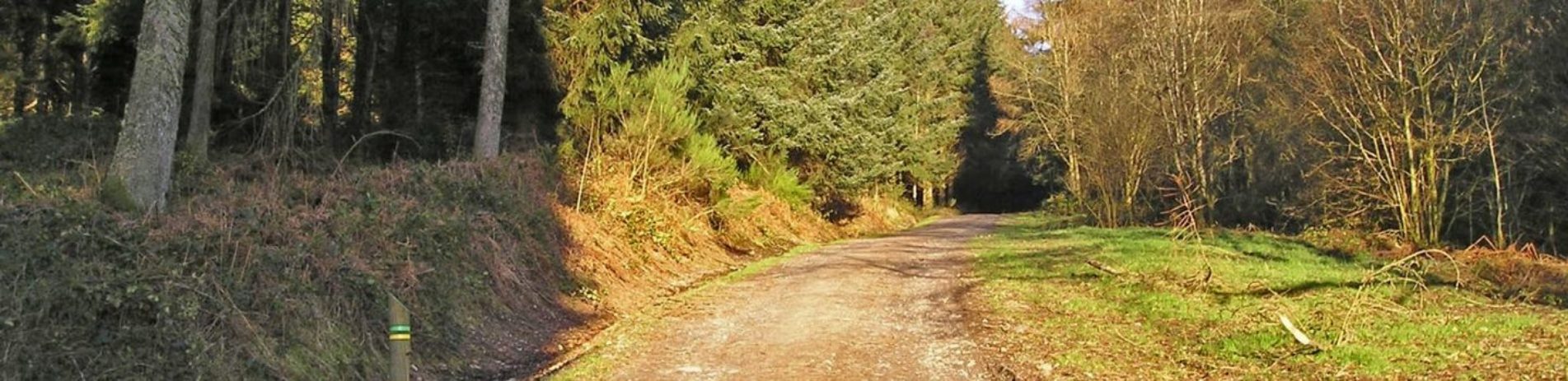
At the Forestry Commission Scotland’s Braeval car park, horse box parking is on the right as you enter. There are a variety of route options starting from the car park and heading up the main forest track.
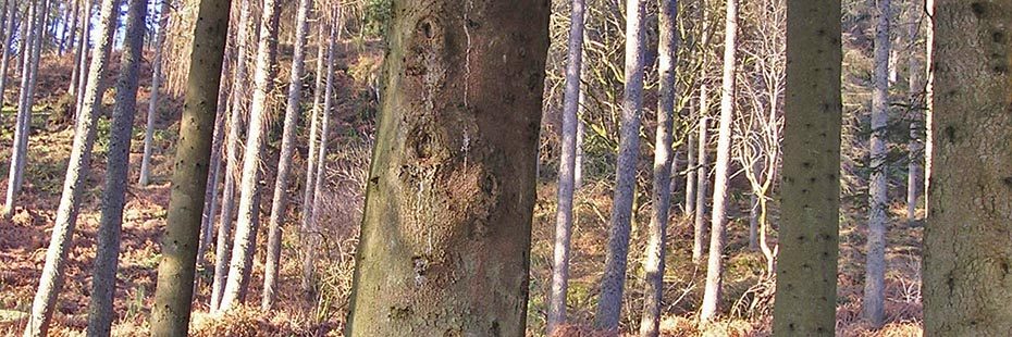
Conifers at Braeval
Initially following the yellow waymarked route, the forest track forks after about 250 metres where you head to the left continuing through the forest conifer plantation. At the next junction turn left, and at the next two take a right, which brings you onto the uphill straight ending with a view over the Carse of Stirling. The end view point is situated right under the Menteith Hills and the line of the Highland Boundary Fault. The only option is then to retrace your steps, however, there are a few other options to extend your ride up some of the adjoining tracks as shown on the map.
One alternative is to head up the track from the car park and take the right hand fork, heading along the lower forest track. At the next fork, go left and continue up this grassy forested track, which leads to a dead end. Look out for red squirrels and listen out for the high – pitched calls of coal tits and long-tailed high up in the trees.