Rob Roy Loop
Grading: easy
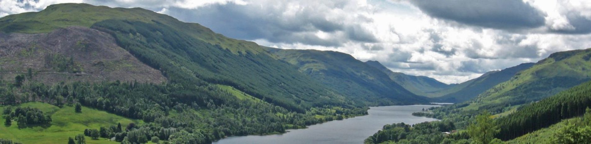
A fantastic ride through Strathyre Forest and Balquhidder village with mountains, lochs, wildlife and the chance to visit Rob Roy’s grave. Starts and ends in Strathyre.
At a glance
- Description: clockwise
- Distance: 12.5 km / 7.8 miles
- Ascent: 96m
- Type: suitable for all types of bike
- Signage: NCN 7
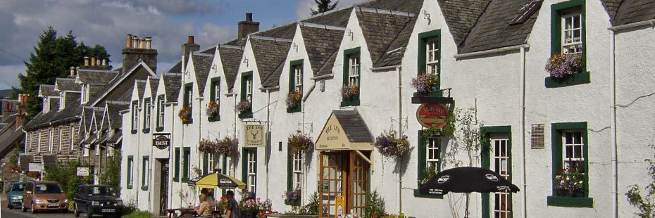
The pretty village of Strathyre
Route description
Scenic high points include Loch Voil linked to Loch Lubnaig by the River Balvag, Ben Ledi (879m) and the pretty villages of Balquhidder (home to Rob Roy McGregor’s grave) and Strathyre.
From the car park on the southern edge of Strathyre, join the NCN 7 cycle path for a short distance towards the village and a gate at the narrow road crossing. Take a left and then next right, follow the quiet rural road into Balquhidder. On entering the village follow the road to the right and straight on until a junction with Route 7. Turn right and follow the cycle path back to Strathyre.
Please take care on the section of the road between Balquhidder village hall and the intersection with the cycle path heading south, back to Strathyre. This road can be busy, especially in the summer months.
Points of interest
- Rob Roy Way: Long distance route (one of Scotland’s Great Trails)
- Strathyre Forest
- Braes of Balquhidder
- Creag an Tuiric (Rock of the boar)
- Rob Roy’s grave at Balquhidder
Facilities
At Strathyre, Kingshouse and Balquhidder there are food and drink establishments, village shops and toilets. Cycle parking and accommodation are also available.
Download route card
Details are current as of October 2015. Whilst the Loch Lomond & The Trossachs National Park Authority and its project partners have made every effort to ensure the accuracy of the route card information, Loch Lomond & The Trossachs National Park Authority and its project partners cannot be held responsible in any way for any changes that may take place to the routes, nor for any errors in the route cards, nor for any accidents, injuries or damage sustained whilst following the routes. Cycling is a risk sport and all persons using the cycle routes do so at their own risk, acknowledging and accepting the risk of accident, injury or damage.