The Glacier Trail
Grading: easy.
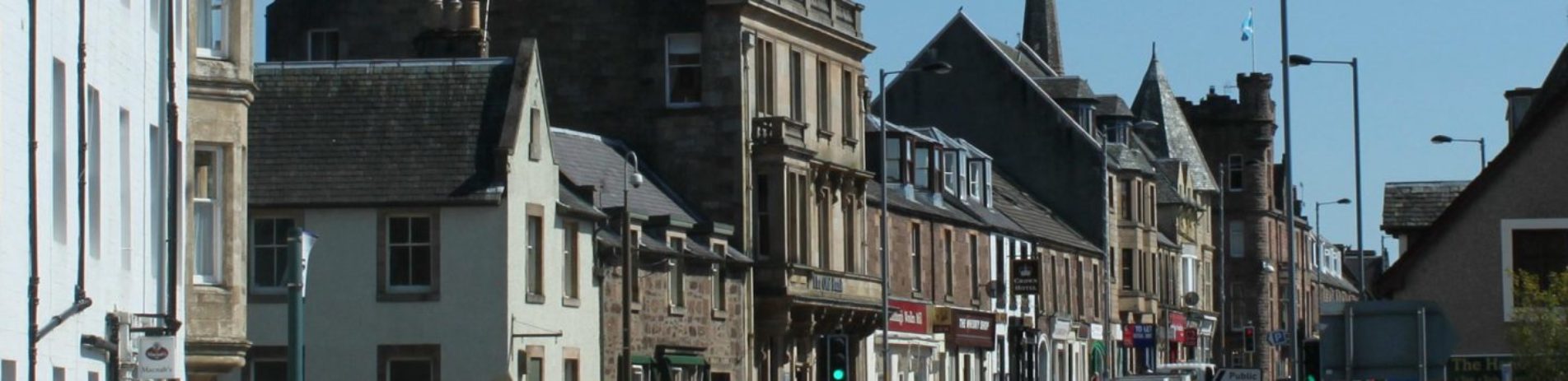
Explore some of this area’s geology on the low-level glacier trail. It starts near the Roman Camp Hotel at the east end of Main Street and follows a short stretch of the River Teith.
At a glance
- Grading: easy
- Distance: 3 miles (4.7 km)
- Path type: Surfaced paths, cycleway and uneven paths, can be muddy
- Allow: 1 ½ hours
Route description
This trail features two glacial deposits that were left about 12,000 years ago at the end of the last ice age. From North Ancaster Square, turn left into Main Street (A84 to Stirling) and go about 600 metres. Turn right at the sign to ‘Roman Camp Walk’.
(1) The narrow path takes you up a bank overlooking the walled garden of the Roman Camp Hotel. This bank is the Roman Camp Esker, which is a narrow winding ridge deposited by a subglacial stream when the last glacier retreated.
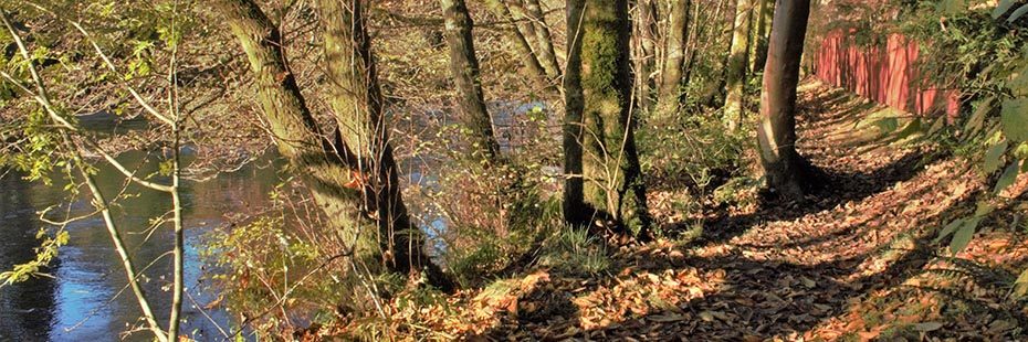
River Teith near the gate to the Roman Camp © Sheila Winstone
Follow the top of the esker round to the River Teith and turn left through an industrial estate and up Geisher Road. The route crosses Stirling Road and then up the lane beside the Mellis Burn to the cycleway, which was once the Dunblane to Callander railway line.
(2) To return to town turn left. Follow the cycleway along Livingstone Avenue and Murdiston Avenue at the end of which is the site of Callander’s first station and later goods yard with the old station master’s house still on the rocks above. Continue under the bridge on the cycleway and then on the path between the car park and the bowling green. Turn left to cross Glenartney Road and back into Ancaster Square.
(3) To visit the Callander Moraine turn right at the cycleway for 450 metres. In Drumdhu Wood find a path to the right that angles off up a slope to a ridge. This ridge (about 150m long) is part of the moraine with a steep ice contact slope. This is the point where the glacier snout would have reached before it started to retreat. Return to the Mellis Burn and follow the route back to town.