Route 4: Easter Park/Fairy knowe
- Distance: 8.75 km (5.5 miles)
- Location: Aberfoyle
- Maximum gradient: 1:6
- Parking: Large car parking area, but can get busy
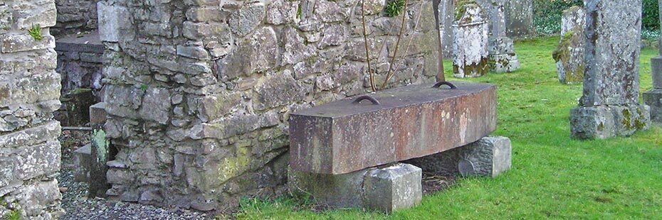
Mort safe in the old Kirk graveyard
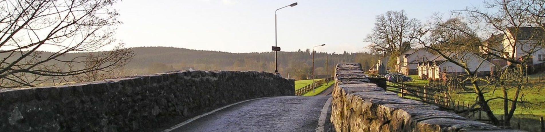
The following route starts from the main public car park on the south side of Aberfoyle where there is a large parking area to the left behind the Scottish Wool Centre. From here head across to the far western side of the car parks and south on the minor public road initially following the green way-markers. Having crossed the River Forth by the stone bridge follow the road past the old Kirk and graveyard where the Reverend Robert Kirk is buried. Kirk was a seventeenth century clergyman who believed in faeries. The tale goes that the faeries were very angry with Kirk for telling their secrets in a book. When he was walking on Doon Hill, which can be seen from the church, they took Kirk and left a changeling in his place!
Continue along Manse Road, ignoring the road on the left signed to Doon Hill and go past a group of cottages. Take the first forest road on the left following the finger posts for Loch Ard Cycle Route. This route takes you through tall conifers, and if you look to your left when the trees clear, there are great views across to Aberfoyle and the David Marshall Lodge. The road swings round to the right and becomes quite undulating. At the next junction bear round to the left following the cycle route signs, and follow the road downhill and over a small bridge. At the next T junction beyond the bridge turn left, again following the cycle route. You soon have a great view of Lime Craig Hill behind Aberfoyle.
Bridge over Forth
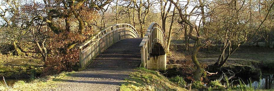
When you reach a crossroads, take a sharp first right uphill through conifers. Keep on this main forest road following the blue waymarkers, ignoring two smaller tracks off to the left and one to the right with wooden barriers. Continue along the road, until you see a small path descending steeply on your left which is the continuation of the blue route. Ignore this as it is too steep for horses and continue on the main forest road. At the next crossroads turn left and continue straight on until you reach Lemahamish car park. Look out for dippers and herons along the river. Continue through the barrier and on the same road with larch and spruce stands to your right, and oak to your left. You may be lucky enough to see a roe deer or woodpecker. Take a track off to your right signed for Aberfoyle and waymarked green, which leads to the River Forth crossed by a timber bridge. The path then follows the tarred cycleway, National Cycle Route 7, back to the car park and Aberfoyle.