Route 3: High Corrie
- Distance: 8.75 km (5.5 miles)
- Location: 5 km north of Drymen on the single track Old Drymen to Gartmore Road (National Cycle Route 7)
- Maximum gradient: 1:9 on blue waymarked route
- Parking: About six horse boxes/trailers
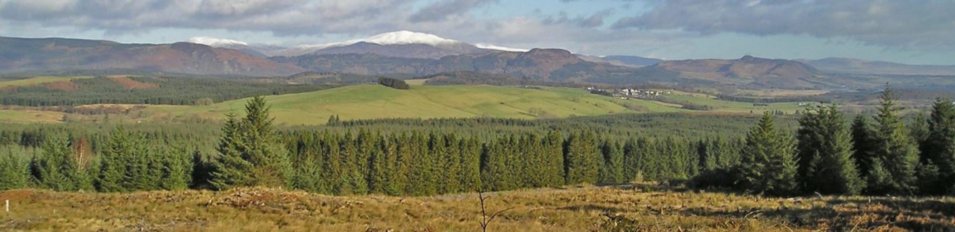
Ben Lomond from High Corrie
Horse box parking is on the west side of the public road, which is single track with few passing places, opposite the large Forestry Commission Scotland car park. Take the left hand blue way-marked route for around 200 metres where there is a large parking area on the left.
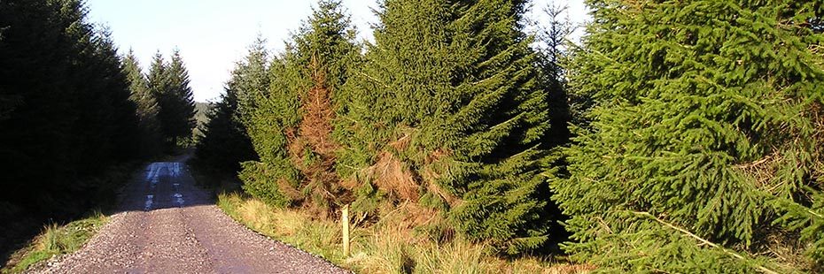
Part of the route follows a tarmac road. However most of the route is on forest roads, which are generally well compacted but which may have loose surface material in places. This circular route is marked along its length by blue-banded timber way-marker posts.
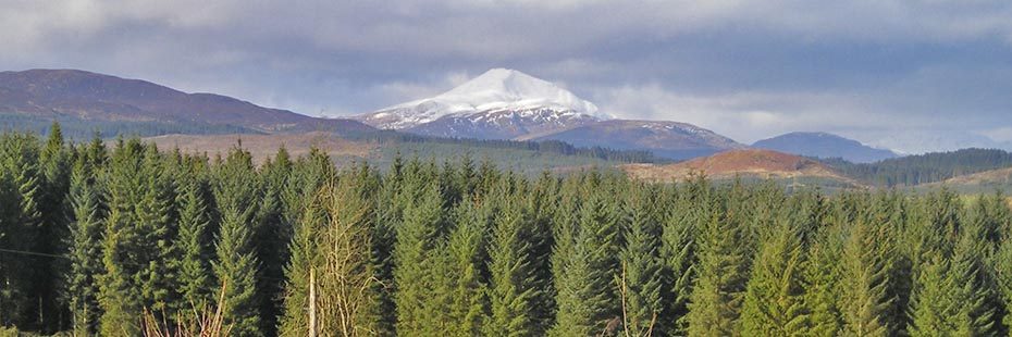
High Corrie along upper road
Starting from the horse box parking area, this circular route can be ridden in either direction. Probably the best views, however, are gained by firstly riding back towards the road, and heading into Loch Ard Forest along the tarred road which follows the line of one of two tunnels that take Glasgow’s water supply from Loch Katrine to Milngavie.
The route takes you through a variety of surroundings, from the forest edge adjacent to farm land and open ground along the line of the tunnel, to enclosed conifer plantation and native woodland. When you’re not enclosed the views are superb. Pick out the line of the Highland Boundary Fault through Aberfoyle and the Menteith Hills. You can see the Lake of Menteith and on towards Stirling Castle and the Wallace Monument on a clear day. In the distance Ben Lomond marks the western extent of Loch Ard Forest.