Glen Finglas & The Meall Route
Grading: hard.
This circuit is well-renowned and gives a tough ride for experienced mountain bikers with plenty of stamina ‘in the bank’. Start and finish in Brig o’ Turk, west of Callander.
At a glance
- Description: anti-clockwise
- Distance: 24km /15 miles
- Ascent: 500m
- Type: mountain bike circuit
- Signage: none
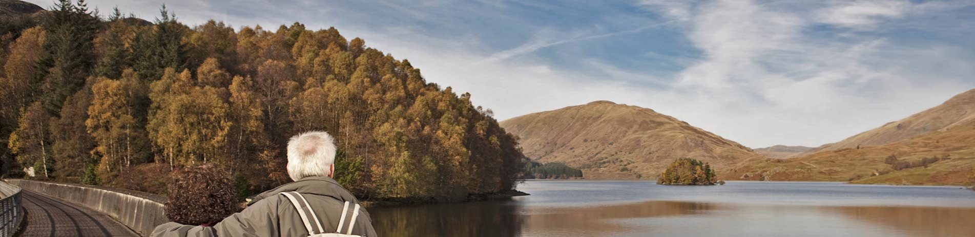
Glen Finglas reservoir
Route description
Although the route might be considered ‘short’ by some, it still packs-in over 500m of climbing to the 600m contour. Riders need to be fully aware of the following – parts of this loop are remote, exposed and without mobile ‘phone reception, please ensure you (and your bike) are in good condition before setting off.
Start in Brig o’ Turk (OS Grid Ref. NN 535 066) between Callander and Loch Katrine. From Brig o’ Turk follow the road north for 1km to a fork – go right (A) and follow the undulating farm track for 4.1km to another fork – go right (B).
The next 4.3km follows the Allt Gleanne nam Meann into the wild and atmospheric upper reaches of the valley – keep spinning up the 2.8km climb to a high point (cairn) and spectacular views of the surrounding mountains. The following 5.5km descent is easily worth the admission price of all the climbing, with steep ramps (max 26%!), sweeping bends and blistering speed down to the Finglas Water ford – enjoy. The next 2.4km section follows the undulating 4×4 track along Glen Finglas to the fork (B) – turn right and head back into Brig o’ Turk for well-earned refreshments.
Points of interest
- Waterbus and boat cruises on Loch Katrine
- Glen Finglas Visitor Centre and local walks
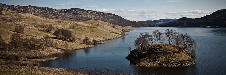
- Glen Finglas reservoir, spectacular views towards Glen Meann
- Glen Finglas former hunting grounds and some of the finest ancient wood pasture remaining in Britain, as Glen Finglas is the Woodland Trust’s largest estate
- Hill walking and climbing opportunities on the pyramidal Ben A’an (461m), longer hill walking challenges on Ben Ledi (879m) and Ben Venue (727m)
Facilities
Callander, Aberfoyle and Loch Katrine Pier are well served with cafes, restaurants, accommodation and supermarkets, while Brig o’ Turk has a pub and tea room (both of which have limited opening hours out of season). Cycle racks are also available.
Download route card
Details are current as of October 2015. Whilst the Loch Lomond & The Trossachs National Park Authority and its project partners have made every effort to ensure the accuracy of the route card information, Loch Lomond & The Trossachs National Park Authority and its project partners cannot be held responsible in any way for any changes that may take place to the routes, nor for any errors in the route cards, nor for any accidents, injuries or damage sustained whilst following the routes. Cycling is a risk sport and all persons using the cycle routes do so at their own risk, acknowledging and accepting the risk of accident, injury or damage.