The Three Bridges of Callander
Grading: moderate.
Enjoy a moderate stroll through woodland and open fields taking in surrounding peaks and the chance of spotting distinctive wildlife.
At a glance
- Grading: moderate
- Distance: 4 ½ miles (7.2 km)
- Path type: Surfaced roads, cycleway and well-compacted forest roads and paths with some loose material
- Allow: 2 ½ hours
Route description
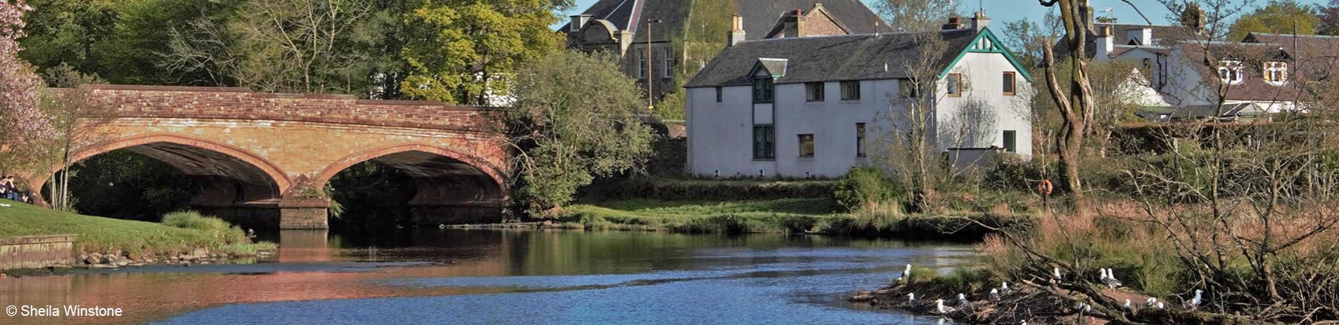
The route starts from north Ancaster Square, Callander. Turn left into Main Street, then right into South Church Street where the old metal bridge crosses the river. Turn left and follow the path to the road below the High School. Turn right and enter Coilhallan Wood between two small sandstone pillars on the other side of the road.
On the route to Coilhallan car park there are excellent views of Ben Ledi and Callander Crags and good wildlife spotting opportunities. Turn left onto the road, then cross the Gartchonzie Bridge heading for Dunmore Fort.
Garbh Uisge river at Callander Meadows © Sheila Winstone
Enter the Woodland Trust Scotland ground and use the path below the fort. The fort can be visited by taking the Brig O’Turk path to the left, then a steep uneven path to the right.
The main path goes to the right and soon on the left there is a sign posted loop, which goes up to Samson’s Stone (the path unsurfaced and is uneven). The loop rejoins the main path nearer to Kilmahog. Take the cycleway towards Callander and using the new metal bridge cross theriver again to the car park and back into town.