Skip to navigation
 Back to top
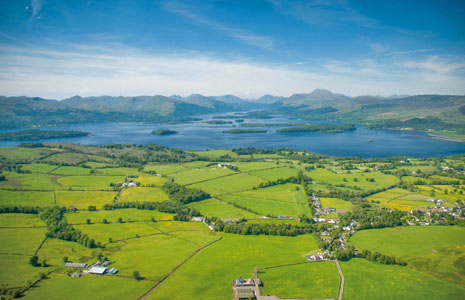
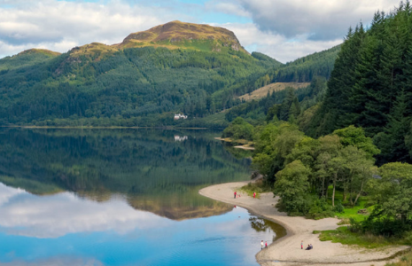
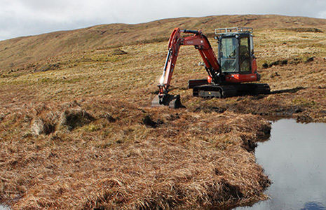
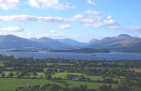
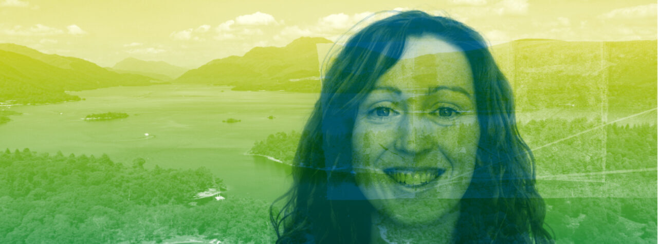
Our pivotal moment
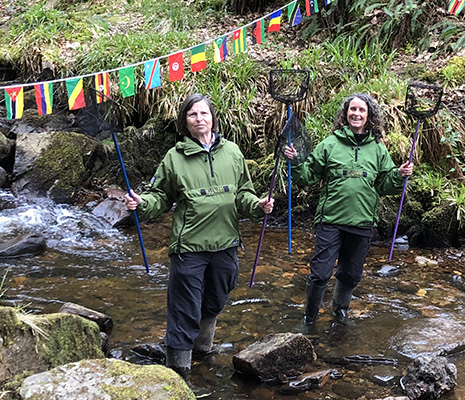
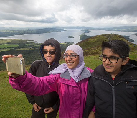
Nature is in real trouble here and the impacts of climate change are being felt more than ever. We can secure a positive future for people, nature and climate. But we must act now.