West Highland Way
Scotland’s first official long-distance route links Milngavie on the outskirts of Glasgow to Fort William, 154 km (96 miles) away. An internationally renowned route, it is listed by National Geographic as one of the top 10 trails in the world.
At a glance:
- Length: 154Km (96 miles)
- Passes through: All these towns and villages from Milngavie, Drymen, Balmaha, Rowardennan, Inversnaid, Inverarnan, Crianlarich, Tyndrum, Bridge of Orchy, Inveroran, Kingshouse/Glencoe, Kinlochleven and Fort William.
- Connects with: The Three Lochs Way and Loch Lomond & Cowal Way by waterbus at Inveruglas and Tarbet; John Muir Way at Carbeth and Gartness; The Great Trossachs Forest Path at Inversnaid; and National Cycle Network Route 7 at Gartness.
The West Highland Way is a well-established long distance route (established in 1980). It is a journey to remember and is listed as one of the world’s great trails by National Geographic. Experience changing scenery every 30 minutes with rivers, fields, nature reserves, hills, lochs and mountains.
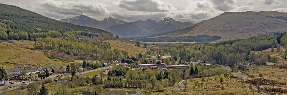
View of Crianlarich Hills from Tyndrum
Top Ten Highlights
- Highland Boundary Fault Line at Conic Hill
- Access to Loch Lomond National Nature Reserve
- Ben Lomond, most southerly Munro
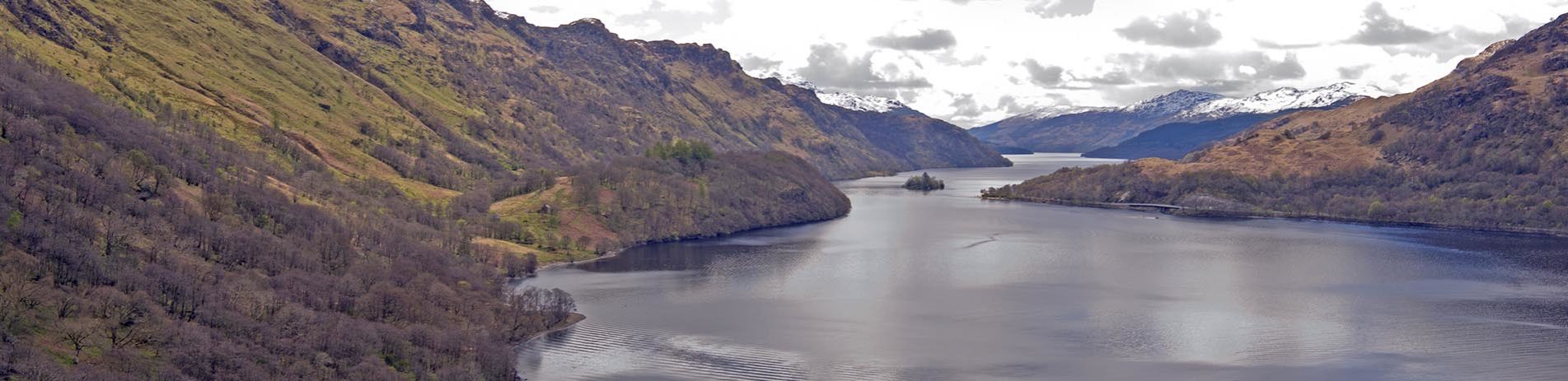
- Loch Lomond
- Ancient woodlands, flora and fauna
- Ben More, Beinn Dorain and other scenic glens
- Blackmount Mountain range
- Rannoch Moor, one of the last remaining wildernesses in Europe, Glencoe and the Devil’s Staircase
- Fort William, Scotland’s outdoor capital
The route starts at Milngavie and passes through Mugdock Country Park, following the shores of Loch Lomond, passing along the bottom of Ben Lomond, through Glen Falloch and Strathfillan, crossing Rannoch Moor, past Buachaille Etive Mor to the head of Glencoe, climbing the Devil’s Staircase, descending to the Loch Leven before entering Lairigmor and Glen Nevis. It finishes at Gordon Square in Fort William.