Sron a’ Chlachain – Killin
Grading: strenuous.
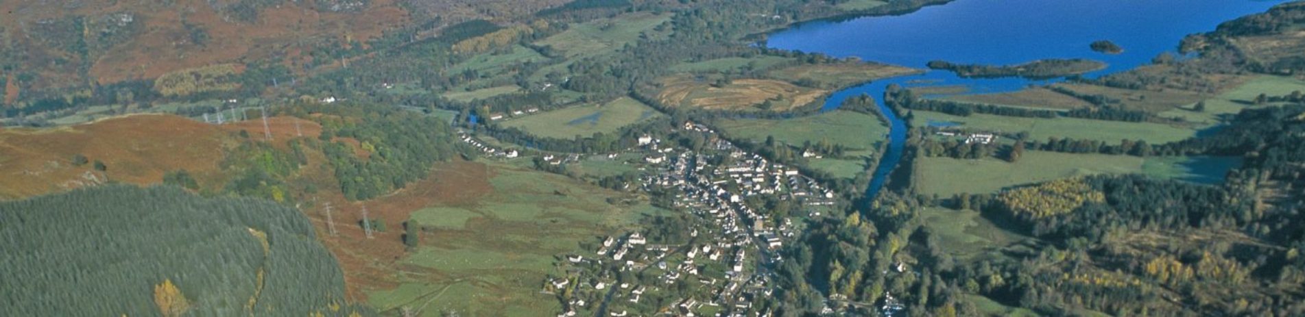
The reward for this steep, short walk is the stunning view down to Killin and over Loch Tay, after climbing through beautiful oak woodland.
At a glance
- Grading: strenuous
- Distance: 2 miles (3 km)
- Path type: Uneven hill path with some loose material and boggy ground in sections. Walking boots essential.
- Allow: 1 ½ -2 ½ hours
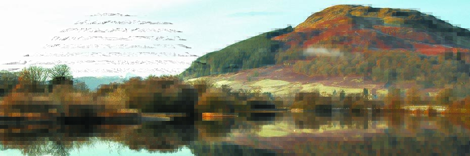
Sron a'Chlachain
Route description
Sron a’ Chlachain, “the peak that resembles a nose above the village”, is situated on the west side of Killin. This route is a hill path with an ascent of 400 metres (1300ft). Most of it is typical of an upland path as the surrounding habitat is a mixture of rough grazing, giving way to heath and moor at a higher altitude. Walkers are rewarded for their hard work with extensive panoramic views over Killin, Loch Tay, Glen Dochart and Glen Lochay.
Enter Breadalbane Park through the main gates just off the main street close to the Primary School.
Follow the footpath through the Park and where the path splits take the right fork. Pass through the gate onto a short section of built path, which will lead you up the hill towards a large stile. Cross over the stile and follow the narrow but obvious path as it passes through a small area of oak woodland, under the power lines and continues steeply to the summit. The easiest return is by the same route.
Please take account of any advisory signs that you may encounter on this route. Upland farming takes place on this route and there are often cattle in the lower fields and sheep on the open hill. Please behave responsibly and leave your dog at home during the lambing season.