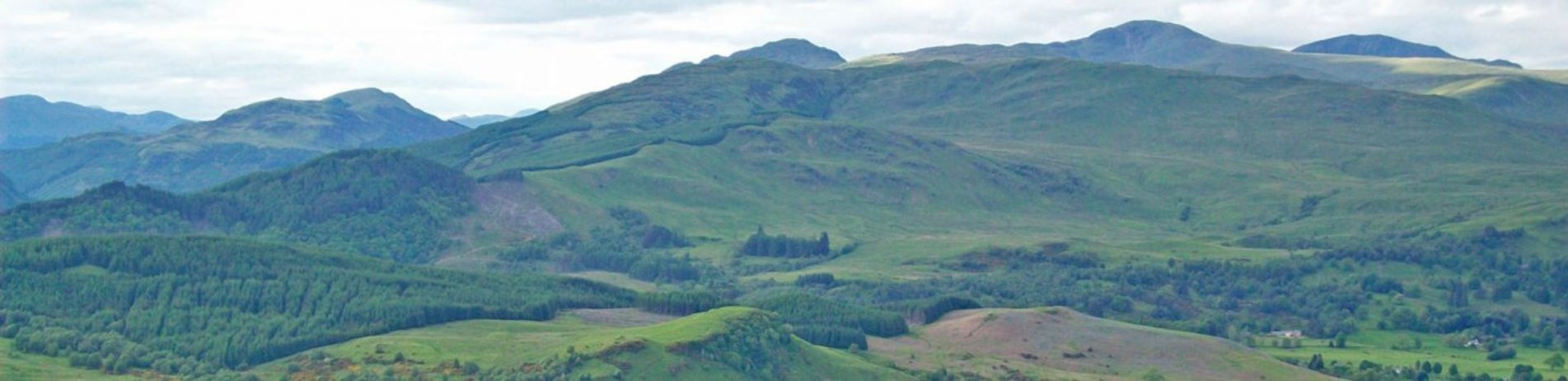
Ben Gullipen
Ben Gullipen is situated on an open parallel ridge. These type of ridges are a direct result of the geological activity along the Highland Boundary Fault, which makes the natural and cultural transition between the Highlands and Lowlands.
The walk up this hill starts close to the popular tourist town of Callander on the A81 Glasgow Road.
It comprises a hike upwards from around 60m above sea level to 414m so you should be prepared for a bit of a challenge but the path is good and easy to find.
What is more, the rewards come in the breathtaking views from on high. Look to the south to see the Wallace Monument near Stirling, then west to spot Loch Venachar and Ben Venue, north to see Ben Ledi, as well as the Munros Stuc a’Chroin and Ben Vorlich, and east over the rolling Menteith Hills.
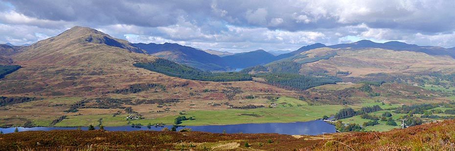
Summit view towards Ben Ledi
A fascinating fact is that Ben Gullipen is classified as a “Tump”, which is a hill in the UK with at least a 30m drop from the summit to the nearest shoulder of land.
Find more information about the hike up from Walkhighlands.
Before you go…
You’ll often find yourself in locations such as working farms, estates and areas protected for their conservation value, and we hope all our visitors will act responsibly and respect their surroundings, while having a safe and enjoyable time in the National Park.
- Always ensure you are prepared; information and practical advice on how to stay safe can be found by reading about Safety and skills in the mountains from Mountaineering Scotland and on our ‘Respect Your Park & stay safe‘ page.
- Be aware that the owners of the land you are crossing might be engaged in deer management and other farming activities and you can help minimise the chance of disturbance. Read more about it in the Heading to the Hills practical guide.
Loch Lomond & The Trossachs National Park Authority cannot be held responsible for any accidents, injuries or damage sustained whilst hiking in the Park. All persons taking part in such activities do so at their own risk, acknowledging and accepting the risk of accident, injury or damage.