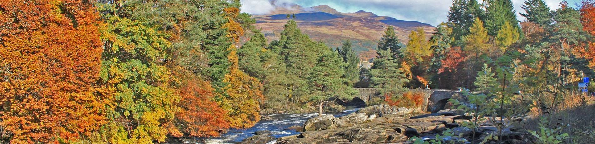
Acharn Forest – Killin
Grading: easy.
In the south-west of Killin, this easy circuit takes you through planted forest and native woodland, with the possibility to link to other routes exploring Glen Ogle or Loch Breaclaich.
At a glance
- Grading: easy
- Distance: 4 miles (6 km)
- Path type: Forest path network. Well-compacted path with some loose material
- Allow: 1 ½ -2 ½ hours

Ah... countryside life!
Route description
Acharn Forest is on the south west side of Killin. Most of the forest is a mixed conifer plantation with pockets of broad-leaved woodland and open moorland. The route is based on National Cycle Route 7 and various forest tracks. There are many possibilities for linking this path with other informal routes in the area to extend the walk over to Glen Ogle, 8 Miles (13 Km), or to Loch Breaclaich, 9 Miles (15 Km).
Head southwest along Main Street, cross over the Dochart Bridge and continue along the main road as if leaving Killin. Before you reach the War Memorial turn left onto a gravel path that passes in front of two bungalows (follow the National Route 7 cycle path signs).
Go through the inset gate and turn right onto the old railway line. Follow this broad track until you reach a “cross road” of tracks. Turn left up a moderate slope and continue along National Route 7 until the next junction where Route 7 heads right and up to Glen Ogle. Bear left here and continue on a loop back to Killin. From this point onwards there is a steady but gentle rise to the next junction. At this junction turn left (the right fork leads on to Loch Breaclaich). The circuit is completed with a moderate descent, returning to the old railway line and the inset gate.