Auchmore Circuit – Killin
Grading: easy.
You get a wonderful taste of the beautiful landscape around Killin on this easy walk including woodlands, Loch Tay and the towering Tarmachan Ridge.
At a glance
- Grading: easy
- Distance: 2 ½ miles (4 km)
- Path type: Forest path network. Well-compacted path with some loose material
- Allow: 1 -2 hours
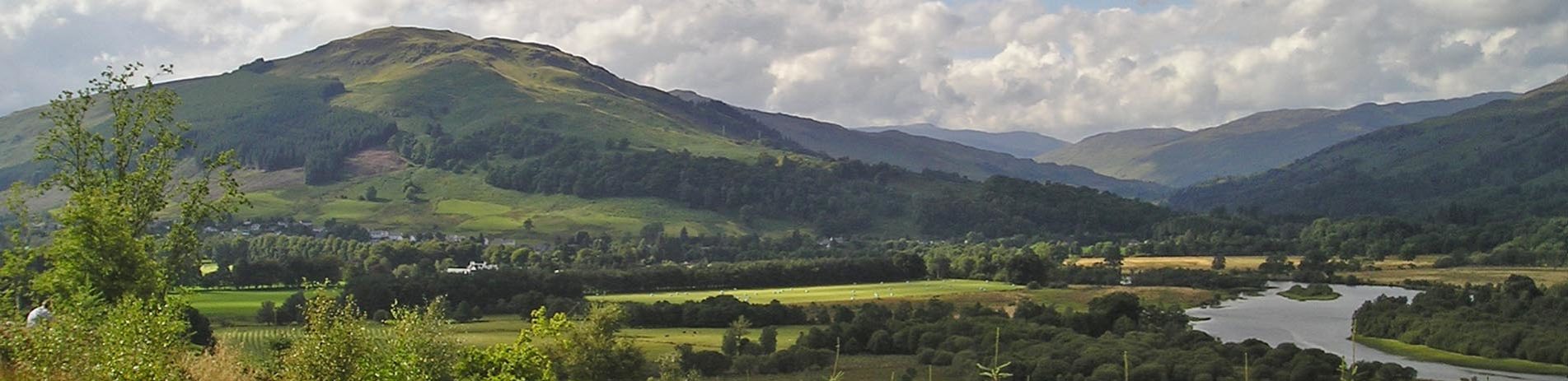
View along the Auchmore Circuit
Route description
Auchmore is on the south side of the River Dochart and to the east of the village of Killin. Most of this route passes through mixed woodland. It primarily follows an estate road, which was part of the old Breadalbane Estate, and the public road on the south side of Loch Tay.
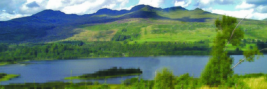
Parts of this walk offer superb views across Loch Tay to the Tarmachan Ridge, Beinn Ghlas and Ben Lawers. Auchmore House was a home of the Earl of Breadalbane and was demolished in the 1960s. Queen Victoria visited Auchmore House during her tour of Scotland in 1842.
Head southwest along Main Street, cross over the Dochart Bridge and then turn left onto the South Loch Tay road, signposted Ardeonaig. The entrance to Auchmore Estate is approximately 150 metres along this road, as it turns sharply right. Enter the estate road passing by the lodge house and continue on this route until you meet the Auchmore Burn. Cross over the burn by the bridge and immediately take the right fork that heads slightly uphill. Follow this track until you meet the South Loch Tay road. At this point turn sharp right and return to Killin by this minor road, which is also part of the National Cycle Route 7.