The Hidden Heritage Trail – a circular walk between Arrochar and Tarbet
Grading: easy.
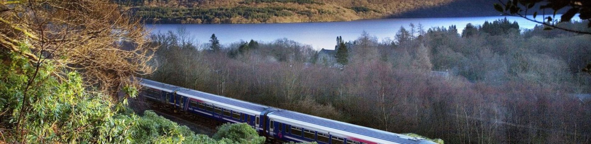
The isthmus of land between Arrochar and Tarbet forms a corridor linking the sea and communities on the west coast with Loch Lomond and Central Scotland. For centuries, the landscape has been used as a through-route, but also as a place to live, farm and bury the dead. Discover its secrets as you walk.
The Hidden Heritage Trail begins and ends at the Three Villages Hall in Arrochar, but can be accessed at several other points. It follows the Three Lochs Way.
At a glance:
- Grading: easy
- Distance: 3.5 mi (5 km)
- Path type: pavements and firm-surfaced paths
- Allow 1 – 2 hours
People have lived on the isthmus for thousands of years – evidence of their presence comes in the form of shaped flint tools found in the school field at Tarbet. Later on, the area was vital within the Battle of Largs in 1263, when the Vikings pulled 60 ships out of Loch Long at Arrochar and dragged them across the land to Loch Lomond, from where they sailed south to raid the inland settlements. Also, from the 13th century onwards, the lands around belonged to the Clan McFarlane, who was notorious for its cattle raids, and the moon became known as ‘McFarlane’s lantern’, thanks to its role in aiding the night-time incursions.
Did you know?
The Cobbler (Ben Arthur) peak is highly visible and distinct from the isthmus between Arrochar and Tarbet. Arrochar was significant in the development of Scottish climbing, thanks to the ‘Cobbler Club’ in the late 1800s, probably the earliest mountaineering club in the region.
Explore a map of the heritage trail and find out more information on the heritage trail leaflet. Find out more information on ‘The Hidden Heritage of a Landscape’ project.