Conic Hill
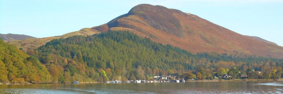
Conic Hill seen from Loch Lomond
Located on the eastern side of Loch Lomond and also on the Highland Boundary Fault Line, walkers leave the popular village of Balmaha for a short but fairly stiff climb to the top of Conic Hill, 361m high.
The rewards come in the expansive views seen throughout the walk and from the top, especially of Loch Lomond and its islands. If you look to the south you can admire the mosaic of farmland and woodland, with field boundaries, trees and shelterbelts, which creates a distinctive and intimate lowland landscape that contrasts with other more rugged parts of the National Park.
The path is easy to find and well-trodden. You will reach a false summit before the top proper but you will know when you are there because the vista is spectacular. Below is Loch Lomond and its many islands while further afield you’ll see the rocky Arrochar Alps and the most southerly Munro, Ben Lomond.
The beauty of this hike is that you don’t need to go all the way up to take in the generous views, as they will start unfolding at your feet from a third of the way up.
Find out more information (including a map) about the hike up Conic Hill.
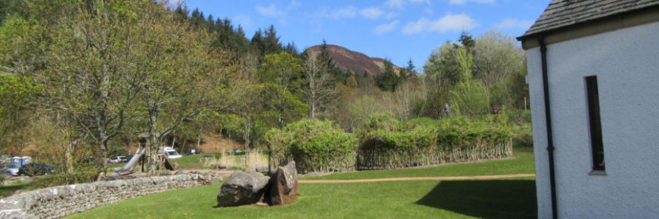
Conic Hill seen from the car park start
Before you go…
You’ll often find yourself in locations such as working farms, estates and areas protected for their conservation value, and we hope all our visitors will act responsibly and respect their surroundings, while having a safe and enjoyable time in the National Park.
- Always ensure you are prepared; information and practical advice on how to stay safe can be found by reading about Safety and skills in the mountains from Mountaineering Scotland and on our ‘Respect Your Park & stay safe‘ page.
- Be aware that the owners of the land you are crossing might be engaged in deer management and other farming activities and you can help minimise the chance of disturbance. Read more about it in the Heading to the Hills practical guide.
Loch Lomond & The Trossachs National Park Authority cannot be held responsible for any accidents, injuries or damage sustained whilst hiking in the Park. All persons taking part in such activities do so at their own risk, acknowledging and accepting the risk of accident, injury or damage.