Cashel Forest Paths
Cashel Forest’s Path network has something for everyone, from a largely level, 500m burnside wander to a moderately challenging 5.7km hike to the peatland at the top of the path network.
Cashel Forest’s Path network has something for everyone, from a largely level, 500m burnside wander to a moderately challenging 5.7km hike to the peatland at the top of the path network.
Posted in Short to moderate walking routes
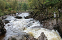
This magical walk is steeped in mystery and is sure to delight adults and children alike.
Posted in Short to moderate walking routes
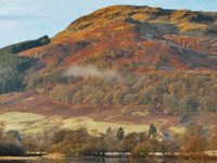
Grading: strenuous. The reward for this steep, short walk is the stunning view down to Killin and over Loch Tay, after climbing through beautiful oak woodland.
Posted in Short to moderate walking routes
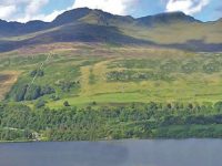
Grading: easy. You get a wonderful taste of the beautiful landscape around Killin on this easy walk including woodlands, Loch Tay and the towering Tarmachan Ridge.

Posted in Short to moderate walking routes
Grading: easy. In the south-west of Killin, this easy circuit takes you through planted forest and native woodland, with the possibility to link to other routes exploring Glen Ogle or Loch Breaclaich.
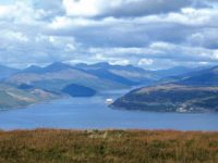
Grading: strenuous. Strone Hill overlooks the village of Strone and offers superb views over the Firth of Clyde and its sea lochs. On a clear day it is possible to see over to Arran, the Arrochar Alps and down the…
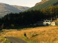
Posted in Short to moderate walking routes
Grading: moderate. This route takes you from Benmore Botanic Garden along the banks of the Rivers Massan and Eachaig on woodland paths and the old road.

Posted in Short to moderate walking routes
Grading: strenuous. The highest peak in Cowal (741 metres) offers wonderful views of Loch Eck, the Clyde Estuary and north and west to the Highlands and islands.
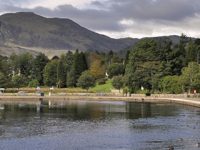
Posted in Short to moderate walking routes
Grading: easy. This is a very pleasant level riverside route with lots of wildlife and wild flowers by the banks of the River Teith.

Posted in Short to moderate walking routes
Grading: moderate. Enjoy a walk along an undulating path through this atmospheric mixed woodland to a viewpoint over the Menteith hills.

Posted in Short to moderate walking routes
Grading: easy. Explore some of this area’s geology on the low-level glacier trail. It starts near the Roman Camp Hotel at the east end of Main Street and follows a short stretch of the River Teith.
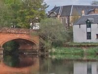
Posted in Short to moderate walking routes
Grading: moderate. Enjoy a moderate stroll through woodland and open fields taking in surrounding peaks and the chance of spotting distinctive wildlife.
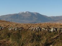
Above the town of Callander are high crags that offer an exhilarating walk first through woodland, then along the crag tops and to a cairn at 343m elevation.

Posted in All walking routes Heritage walks
Grading: easy. The isthmus of land between Arrochar and Tarbet forms a corridor linking the sea and communities on the west coast with Loch Lomond and Central Scotland. For centuries, the landscape has been used as a through-route, but also…